In Search of the Unpaved
If there is one thing I miss about cycling in New England, it is the abundance of unpaved roads. Dirt, gravel, flat, hilly, wide, narrow, technical, tame - you name it and it's there if you know where to look. It took me a couple of years to get comfortable cycling on unpaved terrain, as well as some time to develop a decent mental database of nearby routes. But once I did, riding on unpaved back roads became second nature. I enjoyed them tremendously and took their availability for granted.
When I first began considering a move to Northern Ireland, I was warned about the lack of unpaved roads - both here and in the Republic. "Decades ago, sure - practically the whole thing was dirt roads. But it's as if, in their enthusiasm to modernise, Ireland went overboard and just paved over everything at some point. Even the teeniest backroads are tarmacked or poured over with concrete."
At first glance, I found this to be true in the Roe Valley area where I now live. There are stretches here and there: dirt roads and forest trails up the mountain, a gravel path along the Seawall, some grassy right of way tracks through farms. But overall paved roads and paths seemed the norm, and locals confirmed this.
But as I grew bolder and began planning my own routes along roads I did not know except on the map, something unexpected happened - I began to "discover" unpaved roads. My first major discovery was of a network of gravel roads near the border, to the west, as I progressed along a 100 mile ride I'd mapped out myself. As I followed my route, the road I was on changed from the chipsealy surface it usually is in these parts, to plain gravel, sprinkled loosely over hard packed dirt. On the map, this stretch had not been marked any differently than the paved roads nearby, yet in practice it was not the same category of road at all. The narrow gravel roads went on for some miles, and I could see them continue in the opposite direction from where I was headed. Unfortunately, my GPS commanded a turn toward a larger road that brought me back onto tarmac, and I was too short on time to go off on an exploratory tangent.
Later I made similarly accidental discoveries closer to home. Most recently I had routed a 50 mile ride over back roads I had not previously taken. One of these roads - again, marked completely normally on the map - quickly turned into a gravel lane with moss down the middle, featuring a daunting climb and a steep winding descent. It was a little challenging on my skinny tires, but overall fun. The friend who rode with me was a little shocked though, despite his wider tires. Many colourful curse words in relation to the gravel were used.
"Do you know," I said, "in the US there are rides where the entire route is gravel? It's very popular now."
"But surely not loose gravel like this what we just did! That's plain dangerous."
"Loose gravel" is such a funny expression. I imagined gravel, on the loose, running amock. "You think this was loose gravel? Let me tell you about the Kearsarge Klassic…"
Increasingly, I am starting to suspect that there are cool unpaved routes here if you know where to find them. They are neither promoted nor marked on maps. Even the local cyclists may not know them, simply because deliberately riding on unpaved terrain is not part of the culture here (unless it's technical mountain bike trails, and even that's not all that popular). But dirt and gravel lanes exist, and little by little I am stumbling upon them. Perhaps over time a database of routes could be made and shared among likeminded enthusiasts. After all - if there isn't a map, why not make your own? My optimistic search for the unpaved continues.

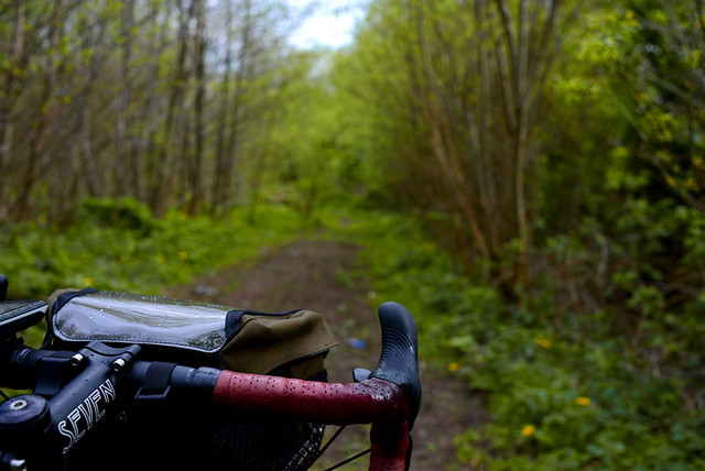
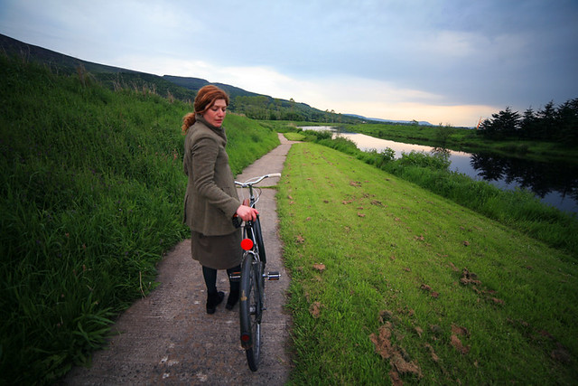
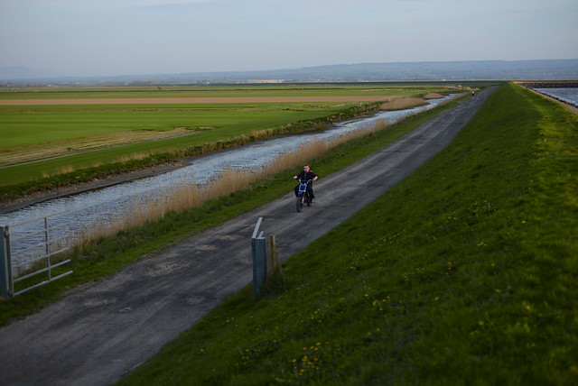
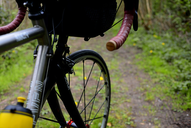
My favorite road is 4 miles of tree tunneled dirt and gravel, 6 miles out of town, 60 years back in time. I'll chain myself to a culvert if they ever threaten to pave it.
ReplyDeleteSpindizzy
I think Kearsarge is more like 50-60% unpaved roads, but it's still a lot. D2R2 is maybe 60-75%? Still some paved riding, but that's unavoidable on a century ride!
ReplyDeleteD2R2 was born from just some favorite local riding loops in western MA. One day someone suggested to Sandy Whittlesey that he take all his favorite landmarks in the area and connect them all via the most remote, off-the-beaten-path roads possible. That's how D2R2 was born.
I am in the process of doing this in the Catskill Mtns of NYS (see ridingthecatskills.com), basically connecting some of my favorite destinations using old dirt carriage roads. So far I have routes of 35 to 100 miles, with anywhere from 40-60% of them unpaved.
You can do the same thing in Northern Ireland! It just takes time. One key is to incorporate pleasant and well timed stops along the route, like nice villages where you can get something to eat and use facilities and enjoy the scenery a bit.
The area of VT where the Blayleys host DROVES has a higher percentage unpaved terrain… but is so hilly that I'm not sure I'd recommend it to any but the most climb-hungry cyclists!
DeleteThe DROVES routes may have more unpaved, but they have about the same max % grade and same average elevation gain per mile as D2R2 and the Catskills-- general ballpark of 1000 feet for every 10 miles; Kearsarge has just as steep grades, but on average has less total elevation gain.
DeleteI like the tone of this post because it captures the serendipity that I always associate with riding on such trails, because I never plan it. So much of bike discussion comes reclassified (gravel this, single track that) that for some reason this comes across as refreshing. I like to think that it hearkens back to the birth of the bicycle, when roads were more idea than reality. Just the other day I happened upon a hiking trail and rode on it with 700 x 35 city tires, and I felt like a kid. Riding on roads, you feel like a lower rung of a rigid caste system. On a trail, you feel unleashed. Who new tire clearance could be so liberating?
ReplyDeleteUnleashed. Really well put.
DeleteSpindizzy
As you search for unpaved roads, will this necessitate a different bike?
ReplyDeleteThankfully no; already have.
DeleteAre some of the trails you've found not marked on maps at all? (even the larger scale Ordnance Survey maps?)
ReplyDeleteI think some of these maps may only mark public rights of way but the law on this differs from place to place.
The roads/ lanes I've found so far are actually marked on the regular maps, but not indicated as unpaved. Have not looked at larger scale Ordnance Survey maps yet.
DeleteI was going to ask the same question about Ordnance Survey maps. Large scale OS maps typically give a good idea of what kind of surface to expect. There are always surprises though!
DeleteThe Rough Stuff Fellowship (http://www.rsf.org.uk/) don't have a Norn Iron group yet...
I've ordered the OS maps, but don't have them yet. I am told they may not be accurate for my purposes, but couldn't hurt.
DeleteThis seems a good promotional for tourism. Many bike enthusiasts who blog seem to be going the same direction, either subtly or overtly, by sharing their passion for the act of pedaling in combination with exploring new terrain.
ReplyDeleteHere in Michigan, some of the best dirt roads in rural areas are on the county lines. They are usually the furthest from developed areas, do not connect any two points and are the shared responsibility of two road commissions (which equates to little in the way improvements like wide ditching or mowing). The landscape looks the same as it was before the automobile took over the country side. It is my secret place to get away from "car culture".
ReplyDeleteOf course it is a good idea to mark down the roads you discover. Like, getting lost first, and looking up the roads afterwards on google maps.
ReplyDeleteI also like to note the blackberries, plums, or maybe apples i encounter on my way. Oh, and the wild strawberries too!
Good luck, too much pavement would drive me crazy. There must be original old roads around too. Or look up maps on google earth and see if that indicates anything.
ReplyDeleteYour best bet is to get out and explore or ask around.
You need to get on the Ordnance Survey! Those things are AMAZING! Every thing is on the Ordnance Survey.
ReplyDeleteIreland? Wales?
ReplyDeletesame deal
DeleteOnly the other evening, before you wrote this, I followed the link to the Riding the Catskills blog, and it struck me just how many dirt roads there are in New York State. Somervillain's ride report was beautifully put together, and inspiring. In Scotland, where I live, several official countrywide trails have been devised in recent years, but most tracks and trails belong to the Forestry Commission.
ReplyDeleteOver here in Ayrshire, Davie Bell, an iconic cyclist renowned for writing 'The Highway Man' weekly column in the Ayrshire Post, the local newspaper, from 1931 to '65 (before my time!), followed whatever trails he could find using Ordnance Survey Maps, then when the trails ran out he would push or carry 'the machine,' as he referred to the bicycle, until he found another trail.
Find out what you can about the legendary Irish cyclist R.J. Mecredy, who rode around the turn of the 19th and 20th centuries (he and his wife were like The Blayleys of their day!) – a true pioneer known as The Father of Irish Cycling. What an adventure cycling must have been back then, eh? (Still is, though; always will be – every ride is an adventure.)
P.S. Search the net for 'Pictorial Gems R.J. Mecredy'. The first page is incidental, and nothing to do with Mecredy, but it might give you some ideas about how to get through your next brevet... ;)
Or not. :)
It's little bit ironic, here in Slovakia we have maybe opposite problem. Roads and paths through the fields and forests, sideways and roads between farms etc. are not paved at all, not even with gravel. Those few wich was once tarmac road are turning back to dirt in slow decay. But I like to combine them with regular asphalt car roads. I even switched to cyclocross bike from road bike for this purpose. But when I decide to ride just unpaved roads a MTB is much more confortable.
ReplyDeleteI have not been to Slovakia since 1990; guessing it is a little different now. Would love to ride through endless fields and forests on a cross bike.
DeleteAs you've noticed, the place is teaming with tarmac. The ratio of roads to people on the island is second only to Austria and the overwhelming majority of those are paved and maintained. There is,however, a significant amount of de-paved roads (paved roads in such a poor state of repair that they are reverting) throughout NI, particularly in drumlin belts away from the major conturbations. Mid and south Armagh are great for this and days could be spent winding along tracks that see cars only a handful of times a year. The roads are effectivly unpaved, quiet and scenic but riddled with potholes. You really don't have to look too hard.
ReplyDeleteUnpaved roads are the cyclists retreat - no cars - I love riding through the narrow, twisty bush tracks which follow the river in the area I live. There is nothing like the feel and sound of tyres over crunchy dirt and stones, with the tall gum trees on both sides providing a sanctuary. Every so often the trails arrive close by the river, providing views that are beautiful in every season and then there are our wild birds all around ....ah Australia.
ReplyDeleteA bit further away from you, but check out some of the paths like Westport in Mayo and the Deise Greenway in Waterford which is in progress, and you've got the Royal and Grand Canals from Dublin to the west - All worthy adventures!
ReplyDeleteThat final remarkable photo seems to be Brigadoon. I like the Ordnance as much as the next man but anyone knows there's no map to follow to Brigadoon.
ReplyDeleteWelcome.
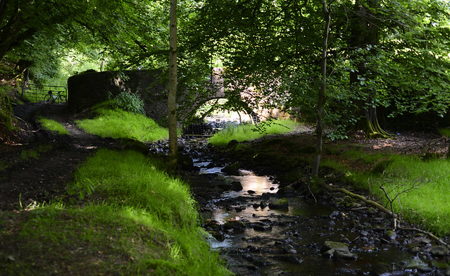
somewhere near Newtonstewart, Co. Tyrone
DeleteFunny how unpaved roads have become such a big part of your cycling enjoyment! If you'd asked me 4 years ago whether or not you would have gone in this direction, I'd have said "no". Now,
ReplyDeleteI have seen the Ordnance Survey maps, and they are amazing. You are going to have a lot of fun with those.
Speaking of gravel rides, I have been told that *we* are doing this one next year.
Almanzo 100
100 miles of gravel
It looks like we both get cross bikes this year...
Its sound like you need to become a member of the Rough-Stuff Fellowship (RSF) which is off-road cycle touring club which was started in 1955, you can find more information on the RSF at www.rsf.org.uk
ReplyDeleteI founding member of South Lakes Group which is local group of the RSF which as its own website at www.southlakesgroup.org.uk and have look at the ride photo galleries on website, as sort thing you want do in Northern Ireland is the sort thing we do on weekly Sunday South Lakes Group ride.
The RSF does not have a local group in Northern Ireland but as few living there and the national club is always looking volunteers to start new groups up!
reminds of that sense of discovery looking for mtb trails in the mid/late 80's in the sierra nevada foothills. we would start on fireroads and then venture off on well worn deer and cattle trails that were definitely not on our maps. was always exciting to see where we'd end up.
ReplyDelete